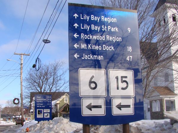
Wayfinding system will help visitors and residents enjoy the Moosehead region
Staff, Piscataquis Observer • January 23, 2017 GREENVILLE — The Moosehead Brand Leadership Team and Moosehead Lake Region Economic Development Corporation have announced the installation of phase one of the Moosehead Lake Wayfinding Project. For more than a year, volunteers have been working on the design and rollout of this high priority item in Roger Brooks Branding Action Plan. The purpose of the project is to put attractive and meaningful signs in places that will help visitors find their way to public attractions including hiking trailheads, boat launches, visitor information, public parking, motorized trailheads, etc. Another goal is to reduce the clutter of existing signs over time, by consolidating them and by ensuring that signs are in good condition and actually provide necessary information. Sally Johnson, who has been leading the volunteer effort, spoke to the importance of this initiative and noted “the wayfinding signs improves the visitor experience, and results in an economic benefit when visitors stay longer and make return visits, because they perceive that there are more attractions for them to enjoy.” She expressed appreciation for the hard work of Brand Leadership Team volunteers, support from donors such as the Elmina B. Sewall Foundation, Piscataquis County and the State of Maine as well as for the expertise of the consulting group Axia Creative. The first phase of wayfinding includes the southern half of Moosehead Lake, from Rockwood and Kokadjo to Greenville. The northern half of the lake will be in the next phases, as public access and road condition issues are resolved. Future plans are to complement the wayfinding signage with an online mapping function on the Moosehead Lake Economic Development Corp website. This map will match the kiosk information map, and will enable smartphone access for wayfinding to the destination points as well as to area businesses.
